
Free for everyone
Geography & Culture
Why Geography and Culture Matter
Geography helps a student picture where things happen. Culture helps them understand the people who live there. Together they turn a name on a map into a real place, with its own rivers, languages, foods and celebrations.
The national geography test for U.S. eighth graders (NAEP) measures three areas: space and place, environment and society, and spatial dynamics and connections[1]. In 2018, 25 percent of eighth graders scored at or above NAEP Proficient, and the average score was 3 points lower than in 2014[2][1]. These are skills a student can build a little at a time, starting with a map and a few good questions.
Culture belongs in the picture too. In 2001, UNESCO adopted the Universal Declaration on Cultural Diversity, which says that cultural diversity is “as necessary for humankind as biodiversity is for nature”[3]. Learning how families in other countries greet each other, cook and celebrate is a friendly way to meet the world.
- All 193 UN member states and the 2 UN observer states, each with its own section[4][5]
- The continents and the five named oceans[6]
- Capitals, neighbors, a river or landform, languages, a greeting you can listen to, and foods, festivals, landmarks and games
- Every fact lists its source, so you can check it with your student
- Free for everyone, in English, Spanish and Portuguese
Explore the world map
A free world reference for students and families: a clickable map, every continent and ocean, and a section for every country with its capital, neighbors, languages, a greeting and a piece of its culture.
The continents
The five oceans
- Pacific Ocean
- Atlantic Ocean
- Indian Ocean
- Southern (Antarctic) Ocean
- Arctic Ocean
Historically, there are four named oceans: the Atlantic, Pacific, Indian and Arctic. Most countries, including the United States, now recognize the Southern (Antarctic) Ocean as the fifth ocean.[6]
The Southern Ocean is the newest named ocean. The U.S. Board on Geographic Names recognizes it as the water from the coast of Antarctica to the line of latitude at 60 degrees South. Not all countries agree on these boundaries.[6]
Free printable maps and geography worksheets
World maps, continent maps, flags, greetings, map skills, landforms, biomes and time zones to print for your students.
Printables with a black and white button also come in a low-ink version, good for coloring and filling in.
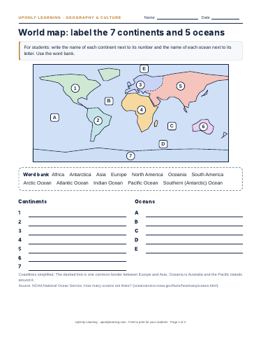
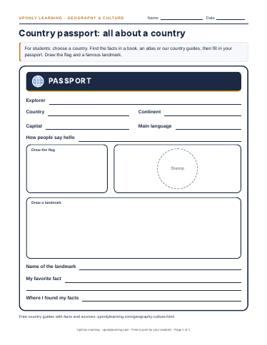
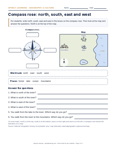
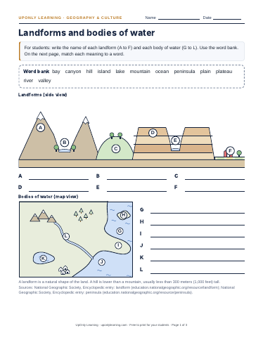
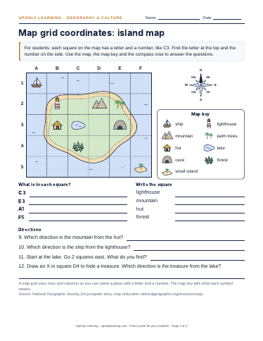
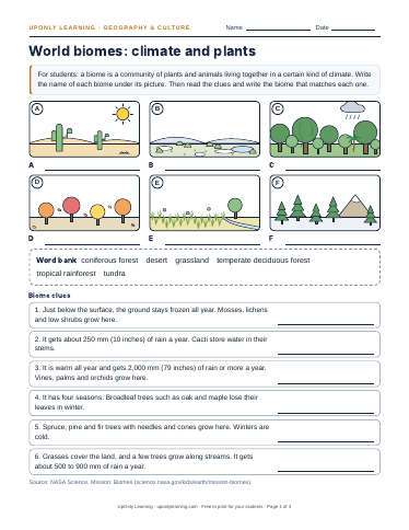
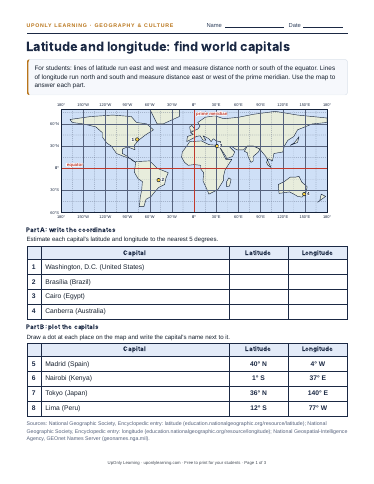
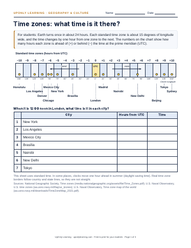
More geography printables (10)
What your student will learn
- Find each continent and ocean on a world map
- Name the countries of each continent and their capitals
- Tell which countries are neighbors
- Know one major river, mountain or landform for each country
- Learn which languages people speak, and say hello in some of them
- Meet a food, a festival, a landmark or a game from many countries
- Check a fact by reading its source
Also practice
Free practice questions with answers from our History & Social Studies banks:
Coming soon
We are building these next. They will link from here when they are ready.
- LessonsContinents and oceans, map skills, and countries by regionComing soon
- Geography gameCapitals and flags, at your own paceComing soon
- Printable mapsWorld and continent maps, flags and map skills worksheetsOpen the maps
- FlashcardsCountries, capitals and culture cardsComing soon
Sources for this page
- NCES, The Nation's Report Card: Geography · nces.ed.gov/nationsreportcard/geography/ (accessed 2026-10-26)
- National Assessment Governing Board, news release (April 23, 2020): 2018 NAEP grade 8 results · nagb.gov/news-and-events/news-releases/2020/grade-8-students--naep-scores-decline-in-geography-and-u-s--hist.html (accessed 2026-10-26)
- UNESCO Universal Declaration on Cultural Diversity (adopted 2 November 2001), Article 1 · www.unesco.org/en/legal-affairs/unesco-universal-declaration-cultural-diversity (accessed 2026-10-26)
- United Nations: Member States · www.un.org/en/about-us/member-states (accessed 2026-10-26)
- United Nations: Non-member States · www.un.org/en/about-us/non-member-states (accessed 2026-10-26)
- NOAA National Ocean Service: How many oceans are there? · oceanservice.noaa.gov/facts/howmanyoceans.html (accessed 2026-10-26)
Play the geography game
Test what you know about countries, capitals and flags.
Country guides
Long-form guides with history, culture, food and more, each with sources.
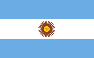 Argentina
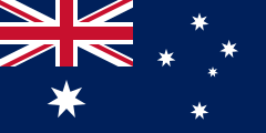 Australia
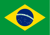 Brazil
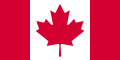 Canada
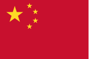 China
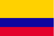 Colombia
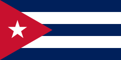 Cuba
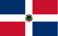 Dominican Republic
 Egypt
 El Salvador
 France
 Guatemala
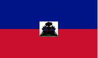 Haiti
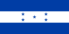 Honduras
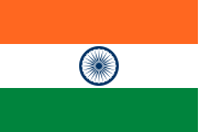 India
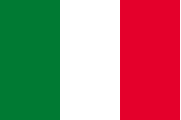 Italy
 Japan
 Mexico
 Peru
 Portugal
 Spain
 United Kingdom
 United States
 Venezuela